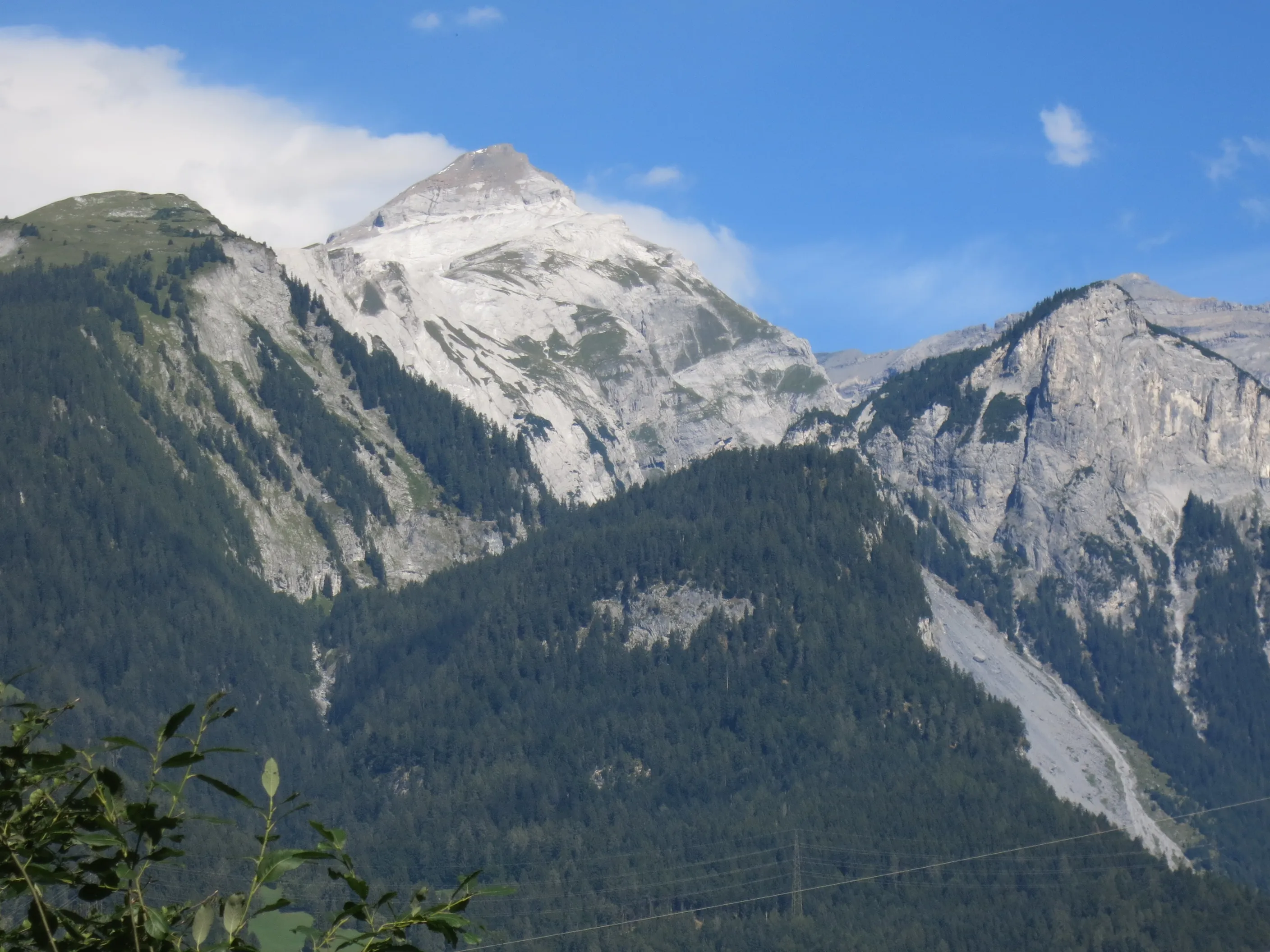
Ringelspitz
An exciting mountaineering tour up the Ringelspitz (3247 m), the highest peak of canton St. Gallen: a wild rock-and-firn summit high above the Tamina valley.
Route: From the Ringelspitzhütte via the Tscheppband (normal route), WS+, 3b.
Approach to the Ringelspitzhütte
Going up to the Ringelspitzhütte will take you 4–5 h, and it makes sense to spend the night here and start early the next day.
Onto the Ringelspitz
For the tour itself, from the Ringelspitzhütte and back you’ll need 8–10 h. You can find detailed information on the SAC tour portal.
The way down
The way down from the hut back to the bus stop will still take you 3–4 h, but with a nice break at the hut this is manageable.
Tip: On the approach (and, if you like, on the way down too) you pass the Strudeltöpfe potholes of the Alp Mora, which are worth a trip in their own right and offer a wonderful way to cool off on a hot day.
Hero image: Paebi, CC BY-SA 4.0, via Wikimedia Commons.
