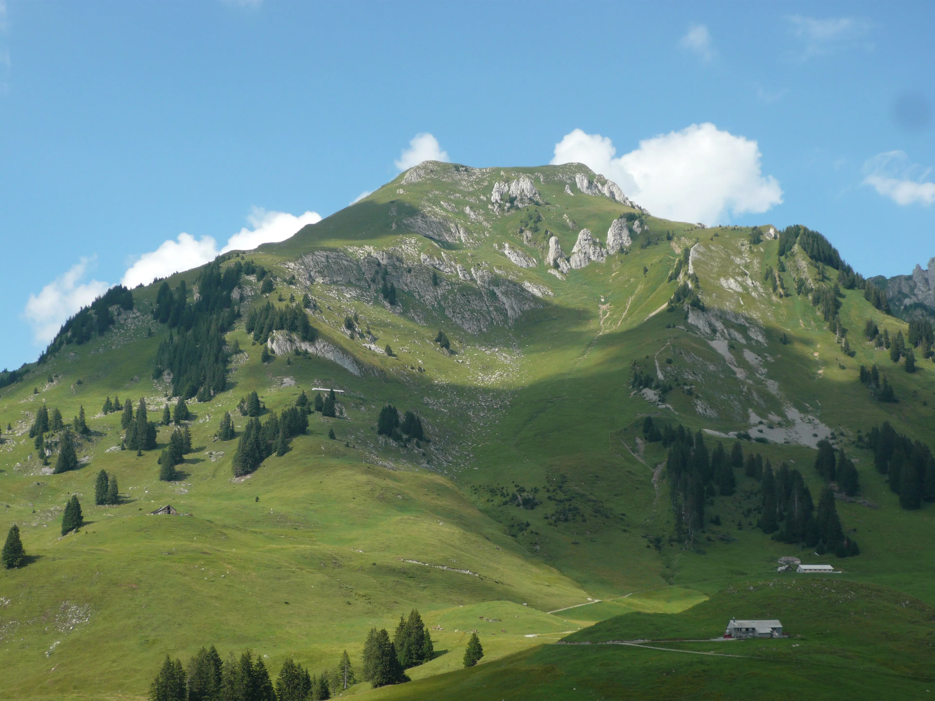
Lütispitz
An Alpstein hike that's surprisingly stiff for a red-white marked trail — go from Stein straight up to the Lütispitz and turn around there.
More than a gentle T3
On the map the Lütispitz in the Alpstein looks like a solid day’s walk — straight up from Stein and back down the same way, around 1540 metres of climbing. But for a red-white waymarked path the ascent is surprisingly demanding: closer to T3+ than the textbook T3 the markings suggest.
If you want more, you can continue over the Schofwisspitz to Unterwasser — though according to Olli, who tested that variant, it’s less rewarding. The Lütispitz section itself, on the other hand, is genuinely cool. So the version I’m planning is the shorter one: up to the Lütispitz and back, same vertical, without the slightly disappointing extension.
Tip: a proper write-up follows once I’ve walked the tour myself.
Hero image: Ramessos, CC BY-SA 3.0, via Wikimedia Commons.

Want to walk this one with me?
I’ll start guiding small groups soon. Leave your email and I’ll write when I schedule this hike.