Alvier
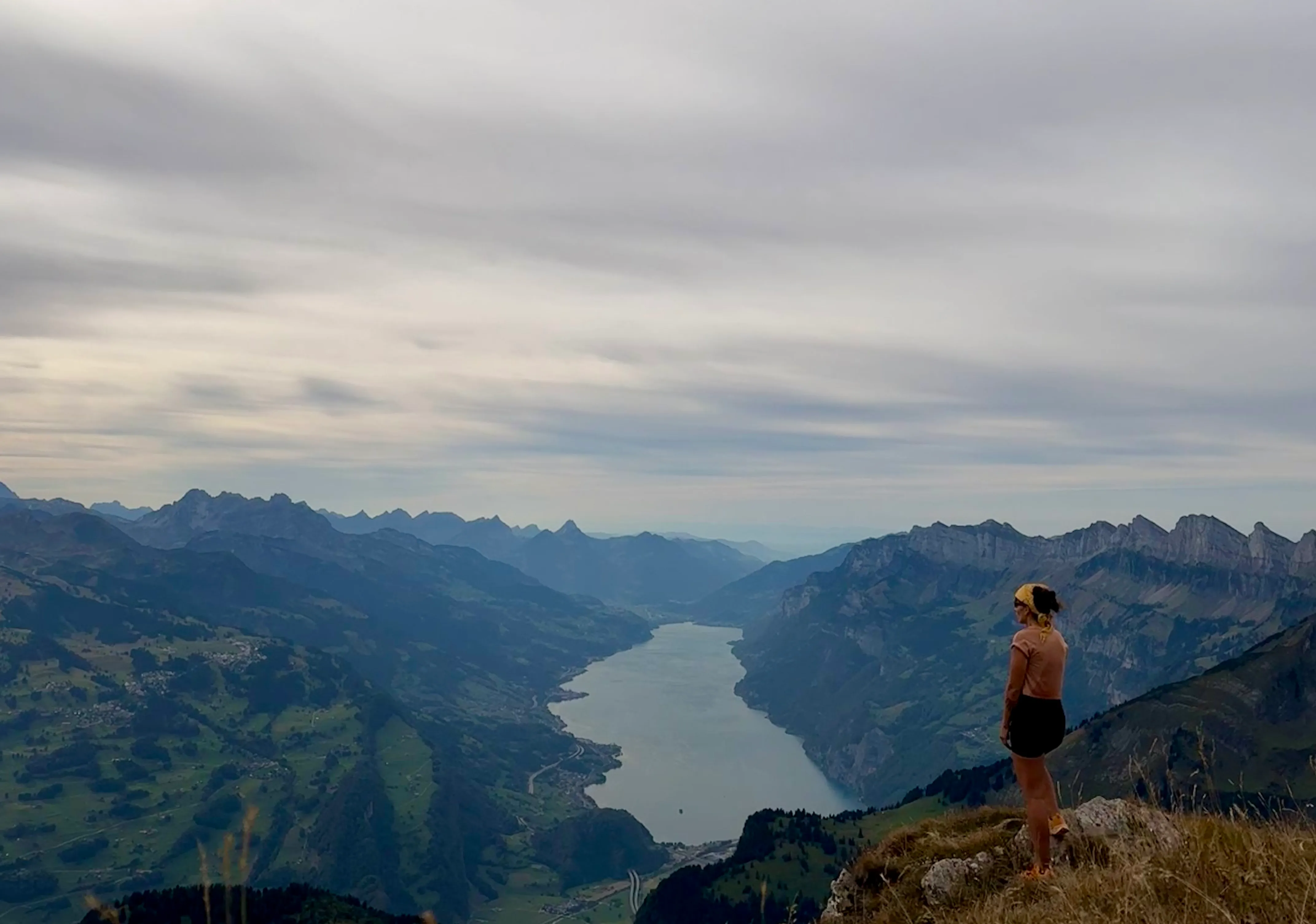
A short, steep hike up the Alvier with a bit of scrambling and a wide view over Lake Walen and the Glarus peaks.
If you want to train your fitness, climb straight up from Mels — everyone else takes the spectacularly steep Palfriesbahn. Run by very endearing Swiss pensioners, the cable car is already an experience in itself: you float up past steep faces and a waterfall.
From the station the path first ambles gently along the forest road, but before long you turn off to the right, and now it gets steep. First through blueberry scrub and meadows, then up over limestone slabs — you have to use your hands here and there, and the trickier spots are secured with chains. Certainly not the easiest T3.
There is also a small wooden ladder (about 15 m) to tackle, which is not entirely trivial — better to be without a head for heights here. The path stays exciting, and now and then an alpine chough shoots past. Soon you reach the summit, where a small inn tempts you with a good soup or a slice of cake, and you can take in the wide view over Lake Walen and the Glarus peaks. The way down follows the route of ascent.
Tip: On a sunny weekend, buy the up-and-down ticket for the Palfriesbahn online before the tour — the afternoon and evening descents are otherwise often booked out. Alternatively, you can traverse the Alvier and descend north toward Buchserberg (Ragnatsch bus stop), as shown on the GPX track. The path and scenery on the back side are less spectacular, though.
Want to walk this one with me?
I’ll start guiding small groups soon. Leave your email and I’ll write when I schedule this hike.